Show HN: GeoImageTagger – AI image geotagging and metadata editor
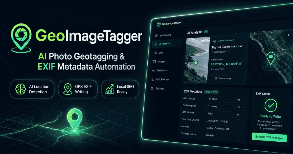
GeoImageTagger is an AI-powered web application that detects locations in images and writes GPS coordinates and EXIF metadata. It offers both free and paid plans, with the free tier allowing up to five images per day and the Pro tier providing up to 1,000 images per month for $10. The tool supports multiple image formats, languages, and includes features such as bulk export, watermarking, and manual editing mode.
- ▪GeoImageTagger provides AI location detection, tag generation, and EXIF writing for supported image formats including JPG, PNG, TIFF, WebP, and HEIC.
- ▪The Free plan limits users to five images per day while the Pro plan raises the quota to 1,000 images per month and costs $10 per month.
- ▪Users can operate without an account for previewing images, but an account is required to process and download edited files.
- ▪The platform includes additional tools such as bulk ZIP/CSV export, image compression, conversion, and a watermarking feature.
Hacker News (AI / LLM) files mainly under ai. We currently carry 2,159 of its stories.
Opening excerpt (first ~120 words) tap to expand
{"@context":"https://schema.org","@type":"WebApplication","name":"GeoImageTagger","url":"https://geoimagetagger.com","applicationCategory":"PhotographyApplication","operatingSystem":"Any","browserRequirements":"Requires a modern web browser","description":"AI-powered image geotagging and EXIF metadata management platform. Add GPS coordinates, generate AI descriptions, and manage image metadata. Free and Pro plans available.","offers":{"@type":"AggregateOffer","lowPrice":"0","highPrice":"10","priceCurrency":"USD","offerCount":"2"},"creator":{"@type":"Organization","name":"GeoImageTagger","url":"https://geoimagetagger.com","logo":"https://geoimagetagger.com/icon.png"},"featureList":["AI Location Detection","GPS & EXIF Writing","AI-Generated Tags & Descriptions","Multi-Language…
Excerpt limited to ~120 words for fair-use compliance. The full article is at Geoimagetagger.
Discussion
0 commentsMore from Geoimagetagger